Development & Special Initiatives

Press Release/Tickers

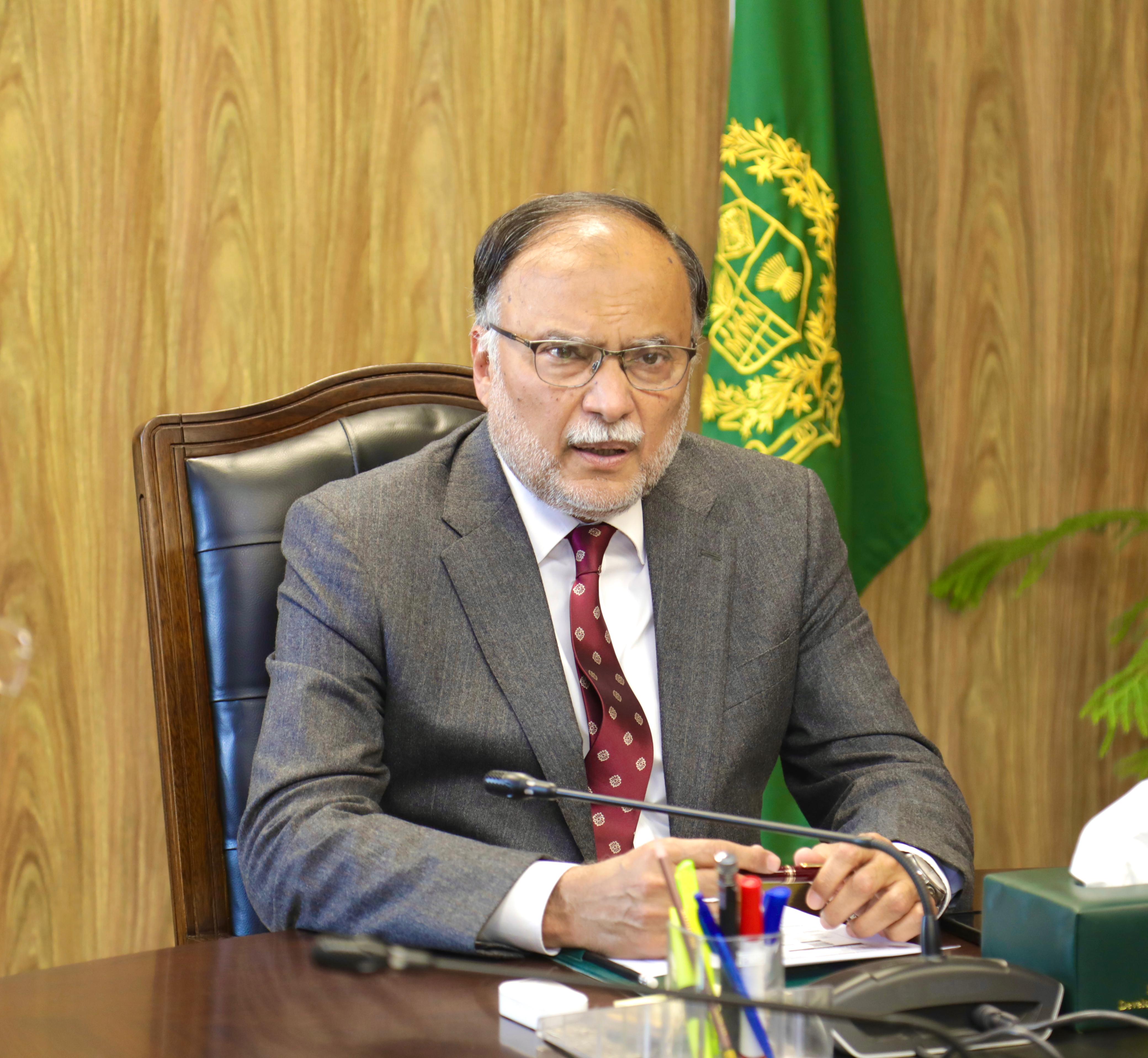

The CDWP meeting presided over by Deputy Chairman ...
Published : 15 March 2024
The CDWP meeting presided over by Deputy Chairman Planning Commission ...
وزارت منصوبہ بندی کا 5 ایز ف�...
Published : 14 March 2024
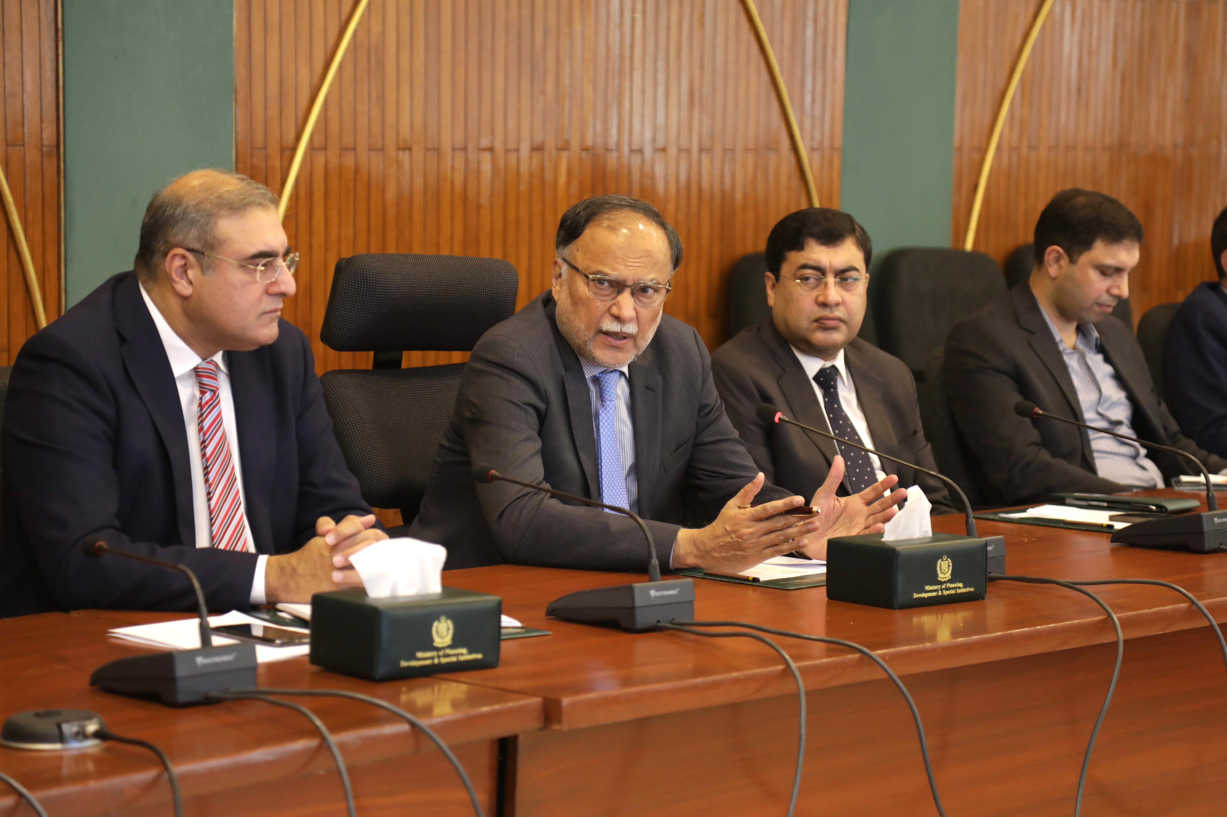
وفاقی وزیر برائے منصوبہ بندی ترقی و خص�...
Ahsan Iqbal reviews progress of National Centers o...
Published : 13 March 2024
The newly-appointed Federal Minister for Planning Development & Specia...
Effective Utilization of space technologies and sciences to contribute to socio-economic uplift of the country: Makhdum Khusro
Dated : 24 January 2019
Federal Minister for Planning, Development & Reform and Statistics Division Makhdum khusro Bakhtyar has emphasized that effective utilization of space sciences and technologies can play an important role in socio-economic development of the country. He underlined that geospatial technologies and satellite imagery could be employed for near real-time monitoring and mapping of development projects which would provide continuous update and aid in better planning and implementation besides ensuring transparency in the projects.
The Minister was addressing a consultative seminar on ‘Utilization of Pakistan Remote Sensing Satellite (PRSS-1) data for socio-economic development’ here at Islamabad on Thursday. The seminar was arranged by Pakistan Space & Upper Atmosphere Research Commission (SUPARCO) in collaboration with Planning Commission of Pakistan that was attended by secretaries and representatives of various federal ministries and departments. On the occasion, Chairman SUPARCO also gave a detailed briefing on the role and functions of the Commission.
The Minister stated that use of space technologies and applications can improve the government processes, productivity, efficiency and reduce costs. The implementation of information & communication technologies (ICT) in conjunction with fresh satellite imagery and precise geospatial information can support better governance and assist in providing requisite services to the citizens at their doorstep, added the Minister.
Khusro Bakhtyar said that satellite technology should be used for estimation of crop sizes, water flows, extraction of minerals and other natural resources as well as in better management of forestry and infrastructure projects accruing socio-economic benefits. He noted that these practices have been adopted globally and many countries were taking benefit from employment of these technologies and applications.
The Minister stated that the present government is committed to ensuring that all development projects and initiatives are completed in time The Minister said that his ministry will launch a pilot project in this regard for effective monitoring and evaluation of various development projects and schemes for efficient implementation and better decision making. ‘The use of modern geospatial technologies like satellite imagery, Geographic Information System and remote sensing satellite would help fast track the completion of ongoing projects as well as ensure transparency’, said the Minister.
The Minister appreciated the work and contribution of SUPARCO, the country’s national space agency, in space science and technology and socio-economic uplift of the country to attain common goal of national development. The Minister hoped that the Commission would continue to develop and introduce new technologies which would further contribute to the growth of national economy for betterment of the people.
CONTACT WITH US

|

|

|

|